Niantic Spatial and Vantor Unite to Build GPS-Free Positioning Network

- Niantic Spatial and Vantor are partnering to build a joint positioning system for air and ground platforms in GPS-denied environments.
- The integrated solution uses live video feeds to create a shared coordinate system across drones, vehicles, AR glasses, and other field assets.
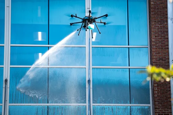
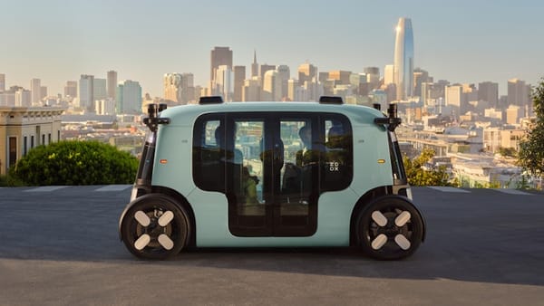
Spatial intelligence companies, Niantic Spatial and Vantor, have announced a partnership to deliver a positioning system for air and ground platforms in areas with no or limited GPS. The joint solution combines Niantic Spatial’s ground-based visual positioning system with Vantor’s aerial visual positioning software. The goal is to enable precise navigation and coordination when satellite signals are unavailable due to spoofing, interference, or jamming.
The joint system uses live video feeds from drones, vehicles, AR glasses, and other field assets to build a shared coordinate system. Niantic Spatial localizes ground-based users by aligning camera feeds with its model, while Vantor localizes aerial platforms by aligning sensor data with its 3D reference maps.
The system is designed to keep autonomous drones, vehicles, AR glasses, and other field assets operational when GPS signals are lost or compromised. Built on field-tested software, the solution is compatible with existing hardware, with live testing planned for early 2026.
🌀 Tom’s Take:
As reliance on GPS becomes a liability, this partnership points to a future where visual data and spatial models form the backbone of autonomous operations.
Source: Business Wire / Niantic Spatial
Disclosure: Tom Emrich has previously worked with or holds interests in companies mentioned. His commentary is based solely on public information and reflects his personal views.