Project Orbion Launches as Real-Time Digital Twin of Earth
- Aechelon and its partners have launched Project Orbion, a live 3D model of Earth powered by real-time sensor data and AI.
- Partners include Niantic Spatial, ICEYE, BlackSky, and Distance Technologies.
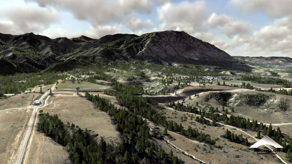
Aechelon Technology and its partners have launched Project Orbion, a new system that turns real-world data into a live digital twin of the Earth. By combining satellite imagery, AI, and sensor feeds into a dynamic 3D model, the platform is built to support situational awareness for events like wildfires, floods, supply chain disruptions, urban rescues, and remote disaster zones.
At the core of Orbion is Aechelon’s Synthetic Reality platform, which merges live, multisource data into a continuously updating 3D environment. This system is designed to reflect real-world conditions with high fidelity, allowing users to interact with a global model that adapts in real time, across day, night, smoke, clouds, and weather extremes.
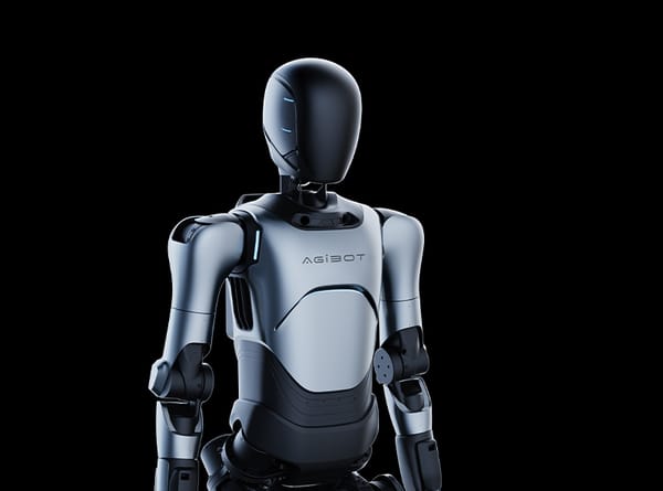
Project Orbion comes together through a mix of technologies developed by Aechelon and its partners. Aechelon handles the core simulation layer, using its Synthetic Reality system to bring all incoming data into one continuous, real-time environment. Niantic Spatial supports this with high-resolution 3D mapping and a visual positioning system that helps teams navigate without GPS, crucial in places where signals are weak or unavailable. ICEYE adds radar imaging from space, giving the model visibility through clouds, smoke, and darkness. BlackSky contributes rapid Earth imagery and automated analytics, helping track changes as they unfold. To make all of this usable in the field, Distance Technologies provides light field AR heads-up displays that let users see and interact with the live model.
Source: YouTube / Niantic Spatial
Next, the team plans to link Niantic Spatial’s positioning system directly into Aechelon’s tools, improving accuracy in environments where satellite signals are limited. The goal is to expand Orbion’s reach across emergency response, simulation, and autonomous systems training.
🌀 Tom’s Take:
Creating a real-time digital twin of the Earth is a massive challenge. Project Orbion shows that it only works when each piece comes from a specialist. One team handles radar, another delivers live imagery, others manage mapping, displays, and simulation. The value isn’t just in the tech, it’s in how these partners are making it work together.
Disclosure: Tom Emrich has previously worked with or holds interests in companies mentioned. His commentary is based solely on public information and reflects his personal views
Source: PR Newswire / Aechelon Technology Inc.